- English
Languages:
This site is created using Wikimapia data. Wikimapia is an open-content collaborative map project contributed by volunteers around the world. It contains information about 32471806 places and counting.
Learn more about Wikimapia and cityguides.
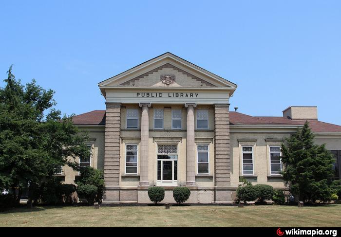
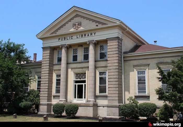
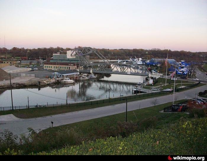
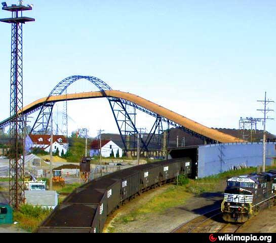
Ashtabula, Ohio
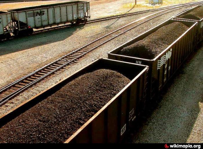
Ashtabula is a city in Ashtabula County, Ohio, United States, and the center of the Ashtabula Micropolitan Statistical Area (as defined by the United States Census Bureau in 2003). A major location on the Underground Railroad in the middle 19th century, the city today is a major coal port on Lake Erie at the mouth of the Ashtabula River northeast of Cleveland. The name Ashtabula means "river of many fish" in the Iroquois language. As of the 2000 census, the city had a total population of 20,962.
Wikipedia article: http://en.wikipedia.org/wiki/Ashtabula,_Ohio
Ashtabula, Ohio on the map.